- Welcome to KIDLAB!
- About the Teacher
- Classes
- Announcements
- Contact Ms. O
- Science Events in Boston
- Fun Science Sites for kids!
- Donations
- Q & A
- Guest Book
- Archives
- Super STEM Saturday!>
- 2009-2010 KIDLAB>
- 2010-2011 KIDLAB>
- 2011-2012 KIDLAB>
- 2012-2013 KIDLAB>
- K2- Fall Exploration
- K2- Float or Sink?
- K2 Boats
- boat images
- G1 Super Science Centers
- G1 Wind!
- G1 Living Museum Props
- G1 A Reason for the Seasons
- Caterpillar images
- G2 Super Science Centers
- G2 Fantastic Forests
- G2 Dinosaurs are DINOmite!
- Dinosaur pictures
- G3 Earthbound
- G3 Blast Off!
- G3 Stargazing
- G3/G4 Welcome to the NHCS Zoo!
- G4 Wonderful Water
- G4 Clean It Like Mother Nature!
- G4 Adam, the Atom
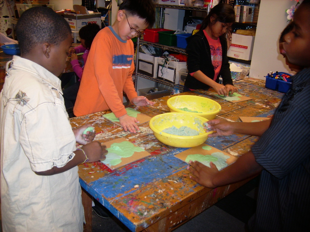
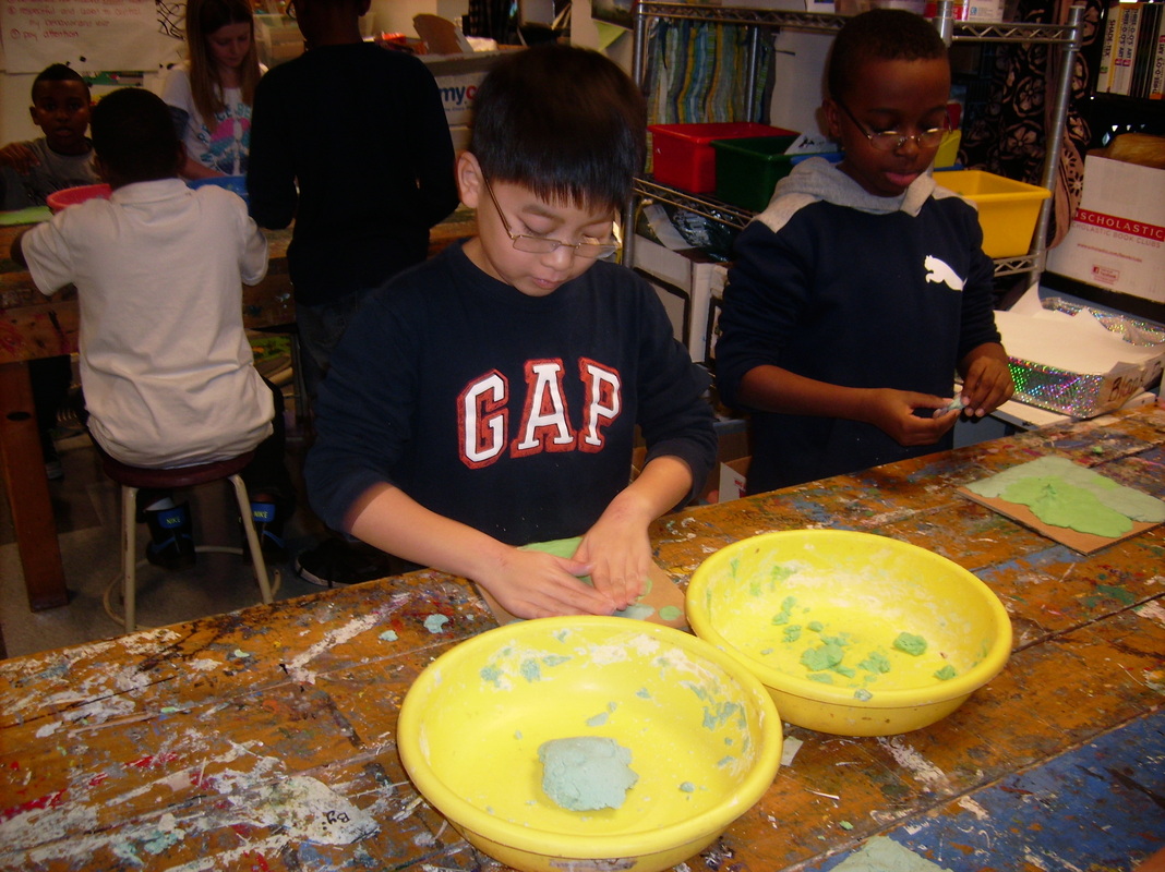
- Maps of the United States
- Cloud Pictures
- Anatomy of a Flower
- G5 Lift it with a Lever!
- G5 Pinball Wizard
- G5 Rube Goldberg Machines
- Images of lunar landing space crafts
- G6/7 Biomimicry and Arthropods
- Enrichment- Shadow Boxes
- Famous buildings
- Types of Plants
Topographical Maps
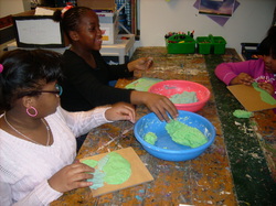
In social studies, the fourth grade learned about different landforms. Down in KIDLAB, we used clay to create those landforms. We first experimented with the clay and practiced making plains, mountains, oceans, hills, rivers, and valleys. After creating a made-up map, we recreated a map of the United States and focused on getting the correct landforms in the right geographic locations. Check it out!